Innovative sensors could make the city centre of Groningen more accessible. With its Proeftuin Binnenstad monitoring project, the municipality is looking for new technologies to map complex traffic situations. The project will run from June 2019 to June 2020, with a budget is EUR 400,000.
Together with market parties, the municipality will look into new technologies to map and even predict complex traffic situations in the inner city of Groningen. This would enable timely adjustments and create optimal space for pedestrians and cyclists.
Data for streamlining traffic
City lawmaker Paul de Rook noted that Groningen is not shy about experimenting. “This project is also a good example of this, with the added bonus bonus of stimulating and facilitating innovation from the market. If we manage to lead the right data traffic better through the city center, then this will benefit both the flow of traffic and the liveability of the inner city.”
According to De Rook, there are a huge number of visitor flowing into the city centre. “We want to steer that better, to ensure accessibility and safety,” he said.
“Market participants will be given the opportunity to develop and test their measuring systems in practice. After completion of the project, the municipality hopes to see if the developed technology can provide sufficient guidance information, so that the limited space can be distributed more effectively among the various road users.
Experimenting with behavioural influence
Visitors to the city center will not notice during the tests. Only when there is sufficient reliable data available about the traffic situations in the city centre will the municipality also experiment with influencing behaviour and directing traffic through the inner city. For example, it might try dynamic traffic signs and the use of bicycle stewards at very busy times.
Local pilots
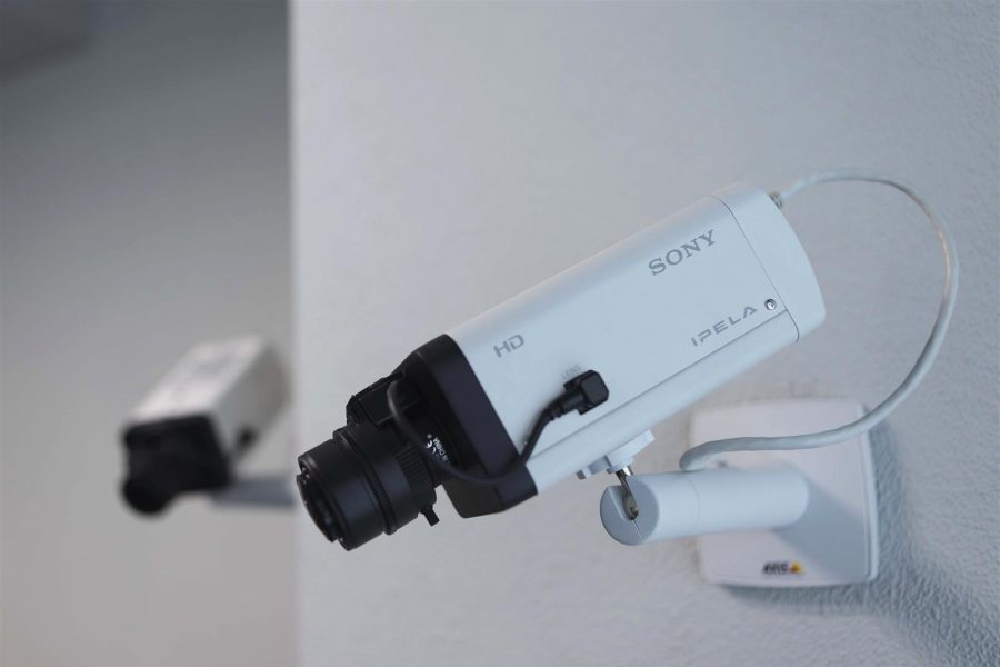
Groningen has already run pilots with local startups. “A camera was able to register whether it was a pedestrian or a cyclist. And at a crossroad, there was a camera that could see using speeds if there was almost a collision. We can use that information to improve routes,” De Rook said.


